Current projections of global mean sea level (GMSL) frequently underestimate the localized risks to coastal infrastructure because they fail to account for the interplay between Glacial Isostatic Adjustment (GIA) and the accelerating melt rates of the Greenland and Antarctic ice sheets. While satellite altimetry provides a baseline of surface height, the actual volume of water and the vertical movement of the land it hits are governed by geophysical feedback loops that are only now being quantified with precision. The delta between "observed" sea level and "effective" sea level is widening, creating a structural deficit in coastal defense planning.
The Three Pillars of Relative Sea Level Displacement
To understand why recent studies suggest higher-than-anticipated sea levels, one must deconstruct the measurement into three distinct physical vectors. Most public discourse conflates these, leading to a flattened risk profile that misses the compounding effects of geological subsidence.
1. The Steric Expansion Variable
As the ocean absorbs over 90% of the excess heat in the climate system, the water column expands. This thermal expansion is not uniform. Variations in salinity (halosteric effects) and temperature (thermosteric effects) create a "lumpy" ocean surface. In regions like the North Atlantic, changes in the Atlantic Meridional Overturning Circulation (AMOC) can lead to localized "pile-ups" of water along the Eastern Seaboard of the United States, effectively raising the sea level higher than the global average by purely mechanical means.
2. The Cryospheric Mass Contribution
The transition of land-based ice into the ocean is the primary driver of long-term volume increases. Recent gravity measurements from the GRACE (Gravity Recovery and Climate Experiment) missions indicate that ice loss in West Antarctica is no longer merely seasonal but structural. The "Marine Ice Sheet Instability" hypothesis suggests that once the grounding line of a glacier retreats past a certain submarine ridge, the process becomes self-sustaining due to the inward-sloping geometry of the seabed.
3. Glacial Isostatic Adjustment (GIA)
This is the most critical and often misunderstood factor. The Earth’s crust is still responding to the removal of massive ice sheets from the last glacial period. As the weight of the ice vanished, the land that was under the ice began to rise (rebound), while the land at the periphery of the former ice sheets—areas like the U.S. Mid-Atlantic—began to sink.
This sinking, or subsidence, creates a "double whammy" effect: the sea is rising while the land is falling. When a study claims sea levels are "higher than we thought," it often refers to the realization that GIA-induced subsidence is occurring faster or more broadly than previous models suggested.
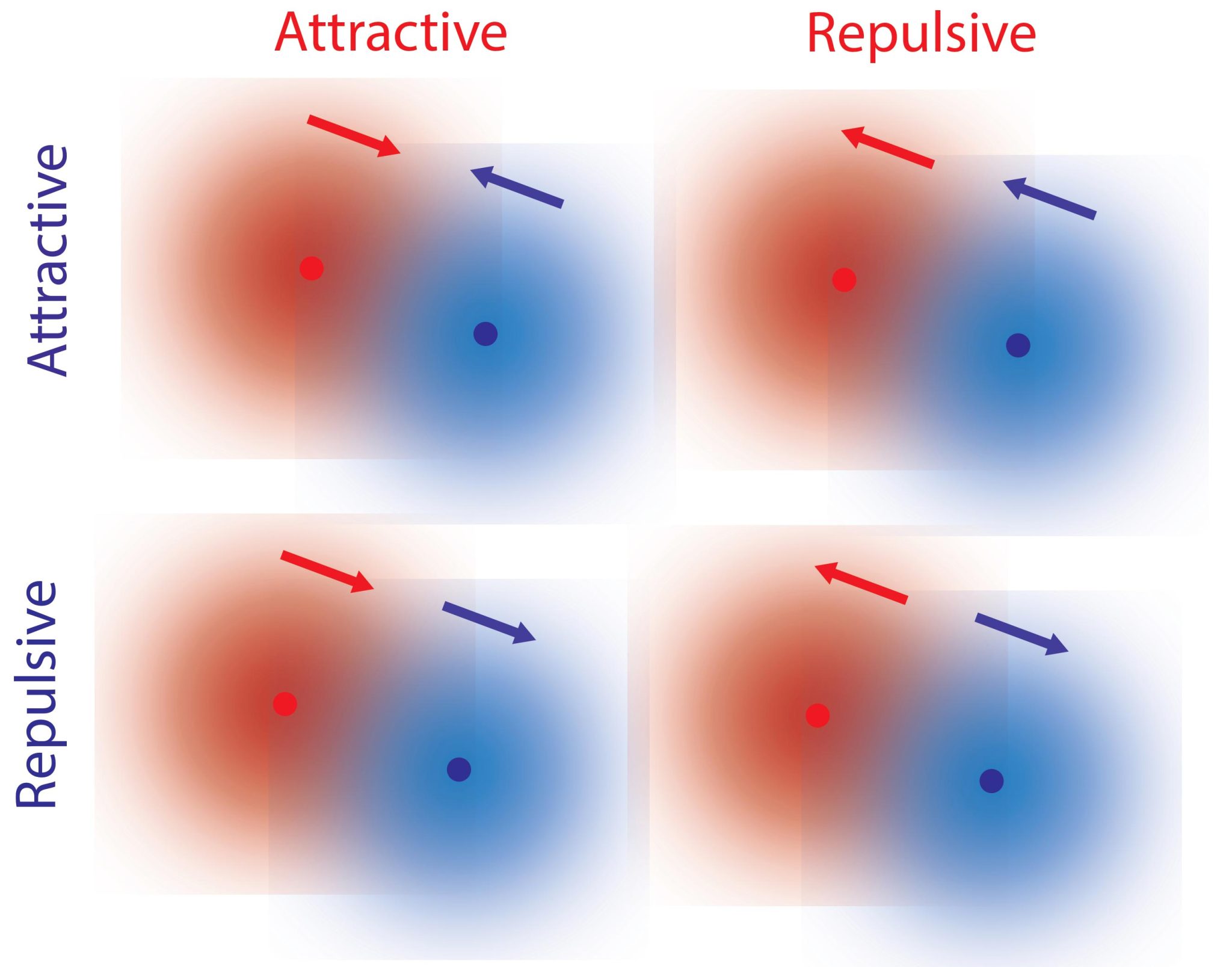
The Feedback Loop of Gravitational Self-Attraction
A counterintuitive mechanism in sea-level physics is the gravitational pull of the ice sheets themselves. Massive ice sheets like Greenland possess enough mass to exert a gravitational pull on the surrounding ocean, drawing water toward their shores. As these ice sheets melt and lose mass, their gravitational pull weakens.
The result is a redistribution of water away from the poles toward the equator. Paradoxically, if the Greenland Ice Sheet melts entirely, the sea level near Greenland might actually fall, while the sea level in the tropics and the Southern Hemisphere would rise significantly more than the global average. This "sea level fingerprinting" means that a 1-meter rise in GMSL could translate to a 1.25-meter rise in the Mid-Pacific or the Indian Ocean.
The Cost Function of Vertical Land Motion (VLM)
The failure to integrate high-resolution Vertical Land Motion (VLM) data into climate models creates a significant "blind spot" for urban planners. VLM is influenced by:
- Tectonic Activity: Slow-moving crustal shifts.
- Sediment Compaction: Natural settling in delta regions (e.g., the Mississippi or Mekong Deltas).
- Anthropogenic Extraction: The removal of groundwater or hydrocarbons, which causes the land to collapse into the void left behind.
In cities like Jakarta or Norfolk, Virginia, anthropogenic subsidence can outpace global sea level rise by a factor of ten. When analyzing the latest data, the "higher than thought" headline is frequently an admission that we have underestimated the rate at which human activity is lowering the ground beneath our feet, effectively accelerating the arrival of the ocean.
Decoupling Linear Projections from Non-Linear Realities
Standard models often use linear extrapolations, assuming that because the sea rose by 3.3 millimeters per year over the last few decades, it will continue at that rate. This logic is flawed. The relationship between atmospheric CO2 and ice melt is non-linear due to several "tipping points" in the cryosphere:
The Albedo Feedback
As white ice melts, it reveals darker ocean water or land. Darker surfaces absorb more solar radiation, which increases local temperatures, leading to further melting. This creates an exponential acceleration that linear models fail to capture.
Hydrofracturing
Surface meltwater on ice shelves can sink into crevasses. Because water is denser than ice, it forces the cracks open, leading to the rapid disintegration of ice shelves that previously acted as "buttresses" for land-based glaciers. Once the shelf is gone, the glacier's flow into the sea accelerates.
Quantifying the Measurement Error
The discrepancy in older studies often stems from the limitations of tide gauges. Historically, we relied on gauges attached to piers or coastal structures. However, if the pier is sinking at the same rate as the land, the gauge only measures the relative change between the two, potentially masking the true increase in water volume.
Satellite altimetry (measuring the sea surface from space) solved part of this, but early satellites had "noisy" data near the coastline where land interference occurs. Modern missions like Sentinel-6 Michael Freilich use synthetic aperture radar (SAR) to provide centimeter-level precision right up to the shoreline. The "new" higher numbers are often the result of this improved resolution catching what the older, coarser satellites missed.
The Infrastructure Bottleneck
The shift from 0.5 meters to 1.0 meters of projected rise by 2100 is not a 50% increase in risk; it is an existential shift in engineering requirements. Coastal protection is built on the concept of "return periods"—the statistical likelihood of a storm surge reaching a certain height.
As the baseline sea level rises, a "100-year flood" (an event with a 1% annual probability) may become a "10-year flood" (10% annual probability) or even a monthly occurrence. This renders current levee systems and drainage networks obsolete. The cost of upgrading this infrastructure grows exponentially with every additional decimeter of projected rise because of the increased hydrostatic pressure on the structures.
Strategic Realignment for Asset Management
The data suggests a necessary pivot from "mitigation" to "managed retreat" in specific high-subsidence zones. Investors and policymakers must stop looking at global averages and start calculating the Local Relative Sea Level (LRSL).
The LRSL formula is:
$$LRSL = \Delta GMSL + VLM + \Delta G + \Delta O$$
Where:
- $\Delta GMSL$ is the global mean change.
- $VLM$ is the vertical land motion (positive for subsidence).
- $\Delta G$ is the gravitational fingerprinting effect.
- $\Delta O$ is the dynamic oceanographic change (currents and wind).
Institutional capital should prioritize assets in regions where VLM is neutral or negative (uplift) and where the gravitational fingerprint of polar melt is minimized. Real estate and infrastructure portfolios currently valued on 20th-century benchmarks are fundamentally mispriced. The immediate strategic requirement is the integration of interferometric synthetic aperture radar (InSAR) data—which maps millimeter-scale land movement from space—into all long-term capital expenditure models. Failure to account for the accelerating VLM-GMSL coupling will result in a total loss of liquidity for coastal assets well before they are physically submerged.
Identify the InSAR-derived subsidence rates for your specific coastal coordinates. If the combined rate of VLM and GMSL exceeds 10 millimeters per year, the structural integrity of unreinforced coastal foundations will likely reach a failure state within 25 years, regardless of local flood wall construction. Focus divestment on delta-based urban centers and reinvest in high-elevation coastal nodes with "hard" geological foundations.